Overview
Length: 19.3km
Elevation: 914m
Type: Loop
Time: 2h 30m
Introduction
Trail running up Aitana will always be special for us: it was one of the first we ever tackled, about two years ago. For years we’d caught glimpses of the mountain from the car while driving to and from Alicante airport, on our way to visit my family in West Sussex or Markus’s family near Copenhagen. It always stood out and we were really curious to see what the views would be like from the top.
Since it was winter, we skipped the tougher, rockier routes Aitana is known for and found a long but manageable trail instead. It still gave us everything we were hoping for: a magical experience on the summit of Alicante’s tallest mountain.
About the Sierra de Aitana
Aitana’s summit is 1,558 meters tall making it the highest peak in Alicante province. But…there’s actually a military base at the top so you can’t reach the true summit. Still the plateau just below is wide enough to enjoy spectacular views. On clear days, you can see all the way to Calpe, Benidorm Island and even Ibiza and Mallorca!
In winter the mountain is frosty—something to keep in mind! I slipped a few times when we went, so be careful if you’re tackling it in colder months.
That day, I wasn’t feeling much like running. I’d had some bad news earlier in the week and was carrying it with me. But there’s nothing quite like reaching the top with the endorphins kicking in, the air crisp and clean. The world stretches out in every direction and makes all the little problems of life feel small, manageable even. It’s impossible not to feel better—healthier, happier and alive!
Just thinking about it now makes me want to lace up my shoes and hit the trail all over again!
The Trail Running Route
We tackled the route starting out in Confrides on a chilly February morning. It had rained the night before, and mist clung to the mountain, giving everything a magical but slightly intimidating feel. Markus, of course, was thrilled by the dramatic weather.
Me? I was thinking about how much fun it was going to be cleaning the mud from my shoes and clothes all Sunday afternoon. I’d just got a new trail running bag too…oh well.
The first part of the trail alternates between dirt paths and rocky trails, and just before hitting the 2km mark we crossed the barranco de Matxelis, a little ravine with a bubbling stream.
The climb out of it was steep and technical—one of the trickiest bits of the trail.
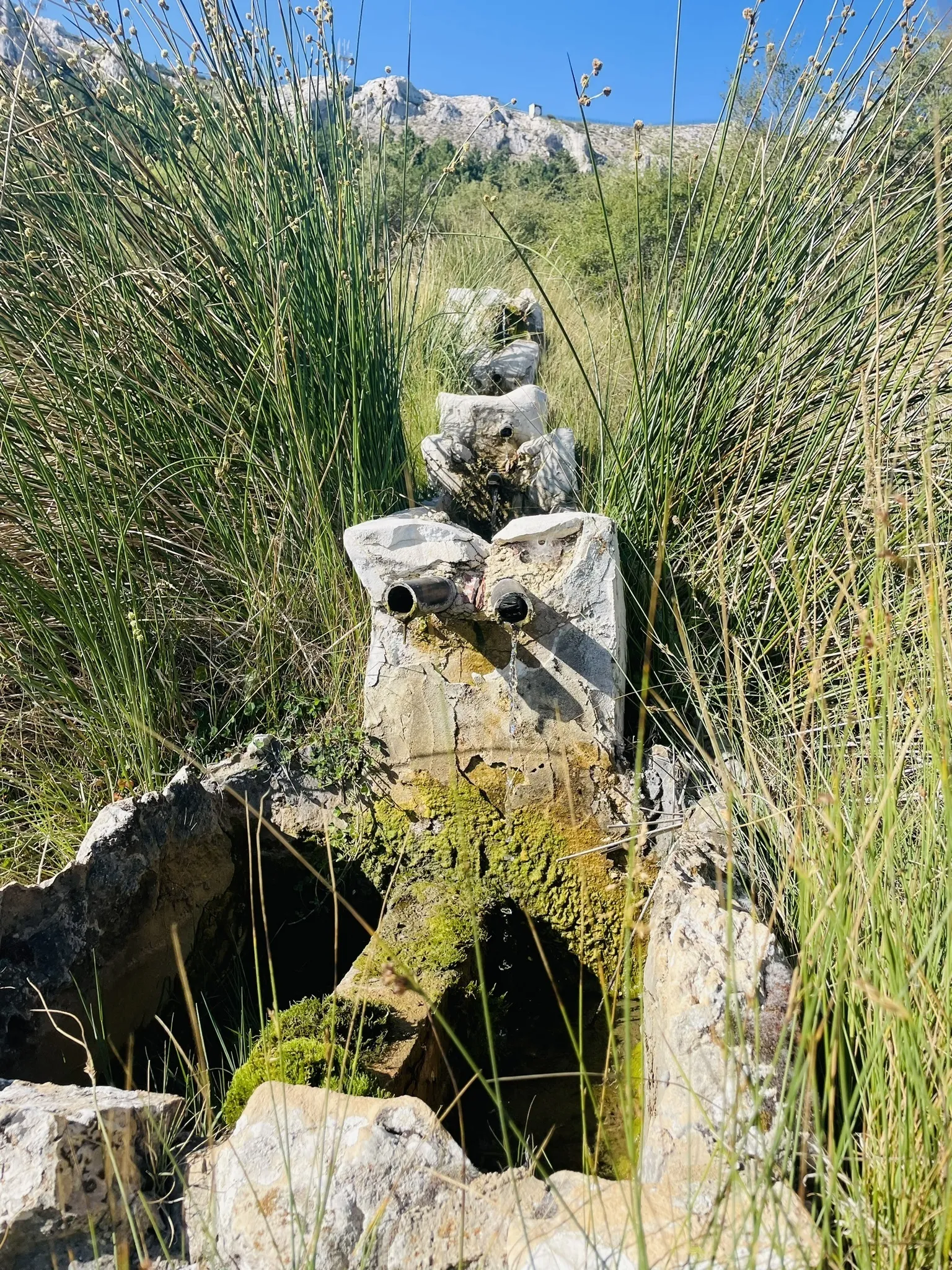
After that, the path settled into a steady uphill on a dirt track. The ascent continued towards Font de la Forata, a lovely little spot tucked into the landscape. Despite the relentless climb, this section was runnable—well, for Markus anyway. I plodded along admiring the views and muttering something about “pacing myself.”
Soon, the challenge really began. We hit a steep climb over medium-sized rocks and loose gravel—a proper workout for the quads! Still, it made finally reaching the ridge feel like a victory. We followed a trail that skirted the fence of the military base taking in the views.
The weather turned colder and mistier, with a drizzle that seeped into our jackets, but knowing the hardest part was behind us made it bearable. We began the descent.
The downhill was exhilarating: a mix of narrow paths and wide dirt tracks. We passed by the Font de la Forata again but took a slightly different route back. There was one last short climb of about 700 meters (which felt much longer after all the earlier effort), and then the trail reconnected with the original path back to Confrides.
The final few kilometres were a breeze—well, mostly. Around the 3km mark my right calf started to cramp, and I had to stop for a quick stretch. It was a minor hiccup in what was otherwise an incredible day.
With a total distance of about 19km and nearly 1,000 meters of elevation gain, this wasn’t an easy trail. But the stunning views, varied terrain and the sheer joy of reaching Aitana’s heights made it absolutely worth it.
If you’re looking for a challenging but rewarding run in Alicante (and you live in the area lke we do) this one’s a must.

Map of the route we took on Wikiloc.

View from the top of Aitana over Finestrat and Benidorm.

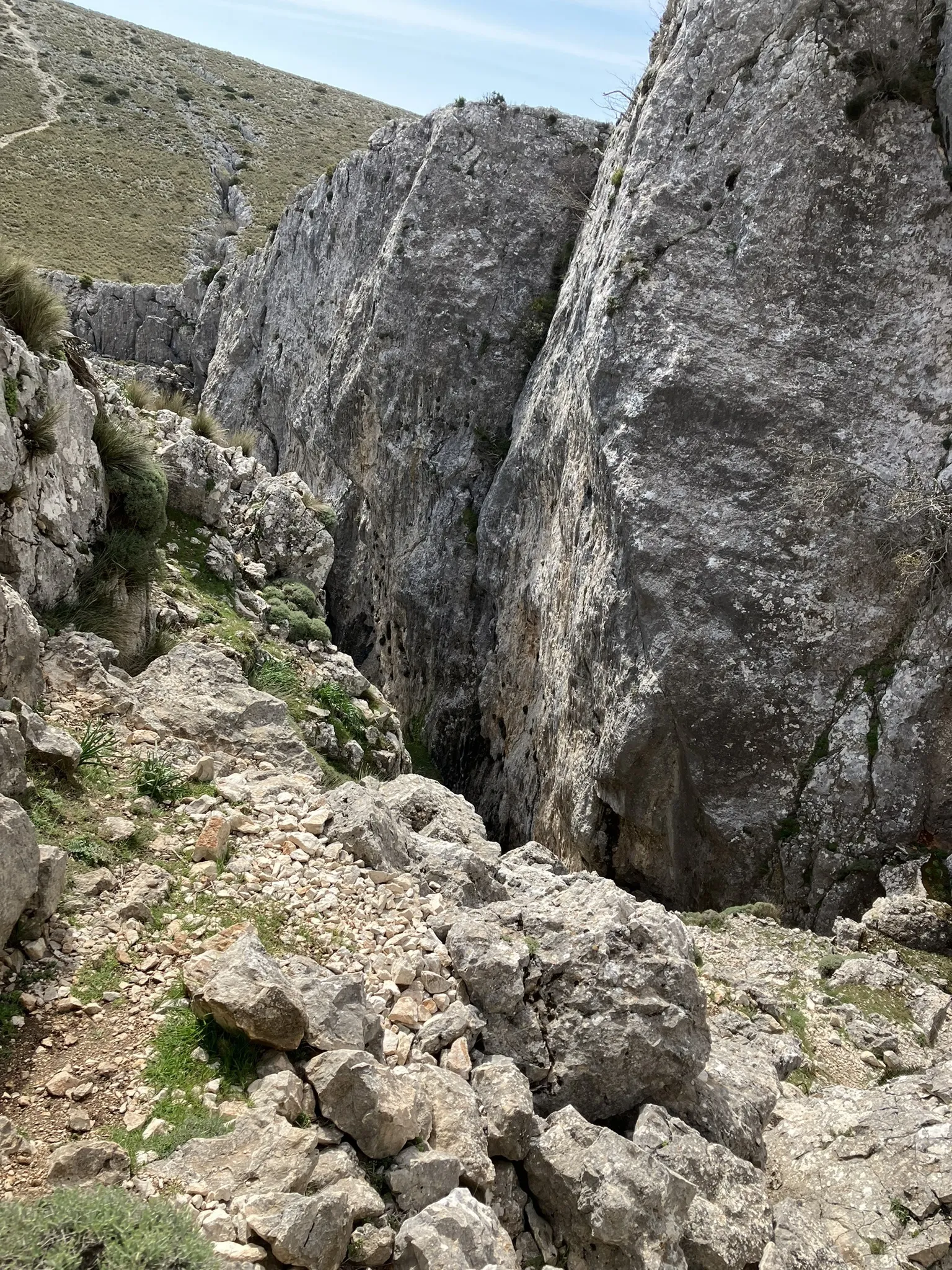
One of the many ravines – some 100m deep!

The Font de la Forata.
